A recent study in Nature Communications demonstrates synchronous three-dimensional (3D) imaging of floe sizes and waves from a moving vessel. 3D imaging has the potential to significantly improve the database on the marginal ice zone.

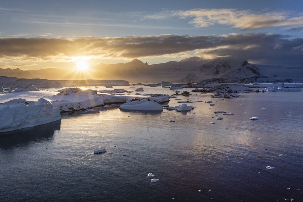
Study: Three-dimensional imaging of waves and floes in the marginal ice zone during a cyclone. Image Credit: I. Noyan Yilmaz/Shutterstock.com
The researchers combined the direction-frequency wave spectrum provided by the images with simultaneous measurements of wind speeds and statistical analysis products to demonstrate the complex cyclone-driven wave field and evaluate the progression of massive waves in sea ice.
The marginal ice zone is the dynamic boundary between compact inner pack ice and the ocean. Surface gravity waves control the size and characteristics of the marginal ice zone, which in turn controls atmospheric composition fluxes and ice formation. Seminal experimental initiatives have developed measurements of wave progression in the marginal ice zone that were desperately needed and are now supporting significant advancements in our understanding of the region's function in the climate system.
Importance of Monitoring Technique for Wave Activity and Ice Cover Characteristics
Enhanced observational capacities are required for comprehending the perplexing regional and internal fluctuations of Antarctic sea ice.
Independent devices operating in severe polar conditions, such as remotely operated vehicles and drones, exceed the limits of in-situ observations. Automated devices can produce data for vital validation and calibration of remote sensing satellites and measuring properties beyond conventional satellites' functionality.
The marginal ice zone (MIZ), characterized by complex relations between large interfacial waves and relatively thin ice floes, is challenging for satellites to record. MIZ is an important target for enhanced observations. In the MIZ, wave development and ice characteristics are tightly intertwined hence, there is a need for a technique capable of monitoring both ice cover characteristics and wave activity, which can collect data during cyclones when wave–ice interactions are most intense.
Stereo-Imaging Techniques for In-Situ Monitoring of Waves and Ice Properties
Stereo-imaging methods are developing as a technique for in-situ monitoring of ice and waves characteristics in the MIZ. The images can be utilized from a moving vessel, such as in oceans, to reconstruct the sea level altitude in time and space. This allows for studying wave motions in two-dimensional space and wave statistics.
Stereo-imaging, can be used to concurrently assess sea-ice geometrical features and can be integrated with co-located meteorological observations, such as wind velocities. Stereo imaging, as opposed to synthetic aperture radar (SAR), resolves the wave spectrum's swell, wind, and sea elements. Stereo imaging methods have not been used extensively in the MIZ.
Development of Automated 3D Image Restoration Algorithms for Enhanced Marginal Ice Zone Database
Alberello et al. showed the capability to track the development of the frequency–direction wave spectrum using three-dimensional images and automated image restoration algorithms. The researchers presented the severe sea condition caused by the storm over a >40 km transect in the Antarctic MIZ and confirmed a subset of the findings using buoy readings.
The sea state deep inside the MIZ during a cyclone is more complicated, and two-dimensional spectra must be partitioned to analyze the wave development of the cyclone-driven wind sea. Evidence of motion transfer from winds through ice concentration provides a comparison of the attenuation of the substantial wave height over range with an observational model, which is considered a standard due to the size of the underlying data set and the fact that the measurements were conducted in the Antarctic MIZ during the sea-ice growth phase.
Research Findings
This research has reported exceptional wave conditions in the winter Antarctic MIZ during an explosive polar storm. A stereo camera system on a moving vessel along a 44 km transect was used to record the MIZ. The data obtained confirmed the co-located buoy readings. The images made it possible to analyze the development of the frequency-direction wave spectrum and showed how the sea state in the MIZ is complex and multi-component, with wind, sea, and swell coexisting and attenuating at various rates.
The 3D imaging stereo camera system can be mounted on ships that often go through the Antarctic MIZ and autonomously monitor the sea condition. This would significantly expand the amount of data that is accessible and simultaneously provide information on the ice cover. This will in turn pave the way for new discoveries that will expand our understanding of MIZ dynamics and serve as the foundation for the creation of the next wave of climate models.
Reference
Alberello, A., Bennetts, L. G., Onorato, M., Vichi, M., MacHutchon, K., Eayrs, C., Ntamba, B. N., Benetazzo, A., Bergamasco, F., Nelli, F., Pattani, R., Clarke, H., Tersigni, I., & Toffoli, A. (2022). Three-dimensional imaging of waves and floes in the marginal ice zone during a cyclone. Nature Communications, 13(1), 4590. https://www.nature.com/articles/s41467-022-32036-2
Disclaimer: The views expressed here are those of the author expressed in their private capacity and do not necessarily represent the views of AZoM.com Limited T/A AZoNetwork the owner and operator of this website. This disclaimer forms part of the Terms and conditions of use of this website.