 By Owais AliReviewed by Sophia CoveneyOct 27 2022
In a study published in Water, researchers proposed a new algorithm for monitoring ice phenology in lake wetlands using optical satellite (Landsat and Sentinel‐2) imaging and optical sensor (MODIS) datasets. The proposed algorithm can remove clouds and aquatic plants from lake ice identification, enabling high-precision monitoring and ice phenology investigation in lake wetlands.
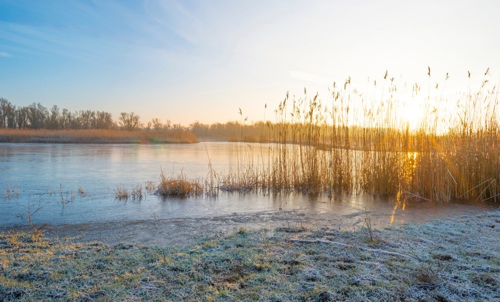
 Study: Monitoring Ice Phenology in Lake Wetlands Based on Optical Satellite Data: A Case Study of Wuliangsu Lake. Image Credit: Marijs Jan/Shutterstock.com
Why is it Crucial to Monitor High Altitude Lake Wetlands?
Lake wetlands are a globally significant ecosystem because of their role in water storage, filtration, biodiversity preservation, and local climate adaptability. Lakes are vital for sustaining the ecological security of global water systems.
In contrast to tropical climates, lakes at high and medium latitudes freeze during the winter. Ice is a crucial medium for the movement of energy and mass between water and air, contributing to the local climate and ecological stability.
Frozen lakes are susceptible to climate change due to low precipitation and high incident solar radiation, which also affects their ice phenology characteristics, including ice cover duration (ICD), freeze-up start (FUS), and break-up end (BUE) dates.
Accurate lake ice phenology data help understand the local ecosystem and climatic change. Field observations offer some ice phenology data but are limited by poor temporal continuity and logistical challenges.
On the other hand, satellite remote sensing covers significantly greater temporal and spatial ranges and is thus employed in lake ice phenology research.
Significance of MODIS datasets in Ice Phenology Research
Active microwave sensors offer high spatial resolution (20–100 m), but their low temporal precision restricts their capacity to monitor lake surface cover variations. On the other hand, passive microwave sensors have a good temporal resolution, but their low spatial resolution (2–25 km) only detects large water bodies.
Optical sensors, such as MODIS, can monitor lake wetland surface daily with high spatial (250–1000 m) and temporal resolution (1–8 days). Lake ice phenology in extreme regions like the Qinghai-Tibet and the Arctic Plateau has been characterized using MODIS surface reflectance data.
In addition, MODIS surface reflectance and daily temperature products combined with random forests have shown remarkable consistency in lake ice phenology research.
Challenges
Although optical sensors have been employed to examine lake evolution, their employment in lake wetland ice phenology is challenging. This is because:
- The growth of reeds varies significantly from year to year.
- Fixed lake water boundaries would generate inaccuracies in lake water area data, enhancing the uncertainty of pixel categorization.
- Opening/closing of ice cover is transient; hence additional pixel categorization errors would affect the accuracy of phenology dates.
Therefore, aquatic vegetation must be eliminated from calculations to get accurate ice phenology of shallow lake's wetlands.
Using Landsat and Sentinel‐2 Imaging and MODIS datasets to Monitor Ice Phenology in Wuliangsu Lake Wetlands
The Wuliangsu Lake wetland in Inner Mongolia was selected as the study area. First, Landsat and Sentinel-2 images segregated aquatic vegetation and extracted the lake water boundary.
Second, an optimal threshold was developed for identifying ice/water pixels within the lake water boundary using MODIS reflectivity products. Then, the water/ice coverage time series was generated.
Third, cloud-covered pixels in optical satellite images were removed and refilled using a combination of four MODIS datasets. Finally, air temperature correction eliminated outliers in the water/ice coverage time series.
The algorithm's validity was confirmed by field observations for future investigations on lake wetland-atmosphere interactions.
Significant Findings of the Study
Wuliangsu Lake normally freezes from November to March. The freeze-up start and finish dates at Wuliangsu Lake were delayed by 0.27 and 0.24 days per year, respectively, while the break-up start and end dates were advanced by 0.26 and 0.44 days per year mean rates. The most notable trend among the ice phenology parameters was the ice cover duration decreasing at a mean rate of 0.71 days per year, or 126.5 days.
The freeze-up and break-up duration trends were unclear; they displayed mean durations of 7.1 and 7.6 days, shorter than most Qinghai-Tibet Plateau lakes. This variation may be attributable to the unusual shallowness of Wuliangsu Lake, which has a limited heat capacity and hence requires less heat for freezing and melting, resulting in a shorter period.
The proposed algorithm offers significant advantages over previous studies. It can successfully reduce aquatic plants' effects on water/ice pixel differentiation and precisely determine the lake water boundary. In addition, it eliminates the cloud effect on optical satellite images, allowing automated lake wetland ice phenology extraction.
This study laid the foundation to perform future long-term, extensive calculations with high accuracy, allowing researchers to probe the connection between climate change and wetland lake ice phenology.
Reference
Huo, P.; Lu, P.; Cheng, B.; Zhang, L.; Wang, Q.; Li, Z. Monitoring Ice Phenology in Lake Wetlands Based on Optical Satellite Data: A Case Study of Wuliangsu Lake. Water. https://www.mdpi.com/2073-4441/14/20/3307
Disclaimer: The views expressed here are those of the author expressed in their private capacity and do not necessarily represent the views of AZoM.com Limited T/A AZoNetwork the owner and operator of this website. This disclaimer forms part of the Terms and conditions of use of this website.