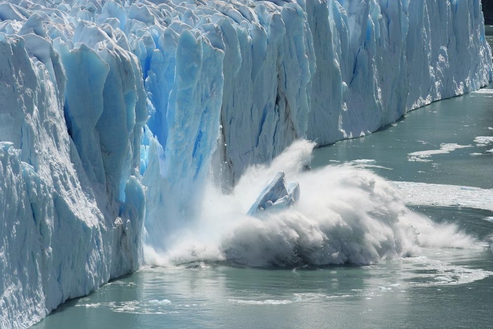
Arctic sea ice levels are often considered as one of the key indicators of our changing climate. The recent 2021 Intergovernmental Panel on Climate Change (IPCC) report states that "Arctic sea ice levels have reached their lowest level since at least 1850" and there is medium confidence that the "late summer Arctic sea ice area was smaller than at any time in at least the past 1000 years." .1

The IPCC 2021 findings also report that the rates of synchronous global glacier retreats is 'unprecedented in at least the last 2000 years'. Increasing rates and volumes of sea ice melts will have life-changing impacts on areas around the globe. These effects will come in many forms, but examples include increased coastal destruction through rising sea levels and the reduction of the albedo effect – sea ice provides a reflective surface for much of the sun's energy helping to lower global temperatures.
Understanding changes in sea ice levels and melting rates means having accurate and continually updated levels of global ice masses. Since 1979, satellite data has proved a decent method to obtain comprehensive records of sea ice surface coverage, but these measurements are insensitive to sea ice depth.
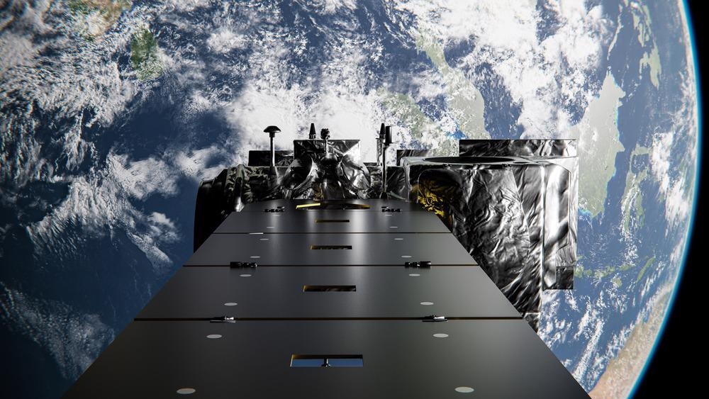
A new mission, ICESat-2, has set out to record this new dimension of information.2 Using the onboard Advanced Topographic Laser Altimeter System (ATLAS), a high repetition rate 532 nm laser, the ATLAS system is designed to provide more precise pictures of the heights of sea ice as well as information on the land surface, vegetation water, and clouds. Standard satellite imagery can distinguish between some land types, snow coverage, and ice due to differences in the surface reflectance, but not with the same level of detail and depth profile that ATLAS can provide.

Image Credit: Darryl Fonseka/Shutterstock.com
ICESat-2 Spectral Imaging
Concerns about declining sea ice levels had already been raised by the IPCC in their 2018 report, with fears about how even 1.5 °C rises could lead to catastrophic and irreversible changes.3 Part of ALTAS's role is to monitor and identify in greater detail how these changes are unfolding, how they affect the ice profile and its surface coverage.
The laser beam from ATLAS is split into six separate beams using a series of beamsplitters. As the photons leave the device, they trigger a timer to start. The six different beams act as individual points to profile the area below. Using a large beryllium telescope that is 2.6 feet in diameter, the ICESat-2 satellite collects as much reflected light from the different point sources, and algorithms can be used to reconstruct the surface conditions. ALTAS is an example of how LIDAR technologies and developments in photonics systems can help tackle issues in climate monitoring, providing crucial data for modelers to understand current and future events around climate change.
One of the challenges for ATLAS is that very few of the emitted photons are returned to the satellite, making detection challenging and necessitates the use of a high-repetition rate laser system. The other is that the satellite measurements must contend with very high background light levels from the sun and other sources. This means the spectral purity of the 532 nm light emitted is critical as it is one of the ways to distinguish the received light from the general scattering background.
Sea Ice Levels
Recent results from ALTAS have provided new information on ice thickness, measuring even localized ice melt ponds and information on snow depth over the whole of the Arctic region.4-6 The main advances of ICESat-2 over the previous ICESat mission are the significantly higher repetition rate system and the 6-point measurements that have allowed for the highest ever fidelity measurements of sea ice from a satellite platform.6

Image Credit: Bernhard Staehli/Shutterstock.com
The data from ICESat-2 is already being used as part of advanced ice modeling simulations to understand factors such as thermodynamically driven ice loss from rising water temperatures. This new information can also be used to monitor glacier movements and understand their likely movement rates.6
Industrial Relevance and the Future
The ICESat-2 instruments represent a noteworthy development in photonics. LIDAR technologies have also opened new possibilities for surface topography monitoring with new levels of detail. The utility of these measurements is not restricted to particular land or water types, such as monitoring for sea ice, and could be extended to other areas for regional monitoring.
One of the key challenges with these satellite-mounted technologies is the low collection efficiency. Greater detector sensitivity and more photon-counting events generated through higher repetition rates can help counteract this as well as the design of the collection telescopes. Another challenge will be speeding up the handling and reconstruction of the large datasets generated by LIDAR technologies, a significant challenge for autonomous vehicles and robots. However, the photonic technologies on ICESat-2 are already having a profound effect on our understanding of Arctic sea ice profiles.
--
Industrial Response to Climate Change
This article is a part of the IPCC Editorial Series: Industrial Response to Climate Change, a collection of content exploring how different sectors are responding to issues highlighted within the IPCC 2018 and 2021 reports. Here, Optics showcases the research institutions, industrial organizations, and innovative technologies driving adaptive solutions to mitigate climate change.
References and Further Reading
IPCC, (2021) Summary for Policymakers. In: Climate Change 2021: The Physical Science Basis. Contribution of Working Group I to the Sixth Assessment Report of the Intergovernmental Panel on Climate Change [Masson-Delmotte, V., P. Zhai, A. Pirani, S. L. Connors, C. Péan, S. Berger, N. Caud, Y. Chen, L. Goldfarb, M. I. Gomis, M. Huang, K. Leitzell, E. Lonnoy, J.B.R. Matthews, T. K. Maycock, T. Waterfield, O. Yelekçi, R. Yu and B. Zhou (eds.)]. Cambridge University Press. In Press.
Icesat-2.gsfc.nasa.gov. (2021) Space Lasers | ICESat-2. [online]. Available at: https://icesat-2.gsfc.nasa.gov/space-lasers
IPCC, (2018) Summary for Policymakers. In: Global Warming of 1.5°C. An IPCC Special Report on the impacts of global warming of 1.5°C above pre-industrial levels and related global greenhouse gas emission pathways, in the context of strengthening the global response to the threat of climate change, sustainable development, and efforts to eradicate poverty [Masson-Delmotte, V., P. Zhai, H.-O. Pörtner, D. Roberts, J. Skea, P.R. Shukla, A. Pirani, W. Moufouma-Okia, C. Péan, R. Pidcock, S. Connors, J.B.R. Matthews, Y. Chen, X. Zhou, M.I. Gomis, E. Lonnoy, T. Maycock, M. Tignor, and T. Waterfield (eds.)]. World Meteorological Organization, Geneva, Switzerland. In Press
Kwok, R., Kacimi, S., Webster, M. A., Kurtz, N. T., & Petty, A. A. (2020) Arctic Snow Depth and Sea Ice Thickness From ICESat-2 and CryoSat-2 Freeboards: A First Examination. Journal of Geophysical Research: Oceans, 125(3), 1–19. Available at: https://doi.org/10.1029/2019JC016008
Petty, A. A., Kurtz, N. T., Kwok, R., Markus, T., & Neumann, T. A. (2020) Winter Arctic Sea Ice Thickness From ICESat-2 Freeboards. Journal of Geophysical Research: Oceans, 125(5), 1–28. Available at: https://doi.org/10.1029/2019JC015764
Farrell, S. L., Duncan, K., Buckley, E. M., Richter-Menge, J., & Li, R. (2020) Mapping Sea Ice Surface Topography in High Fidelity With ICESat-2. Geophysical Research Letters, 47(21). Available at: https://doi.org/10.1029/2020GL090708
Disclaimer: The views expressed here are those of the author expressed in their private capacity and do not necessarily represent the views of AZoM.com Limited T/A AZoNetwork the owner and operator of this website. This disclaimer forms part of the Terms and conditions of use of this website.