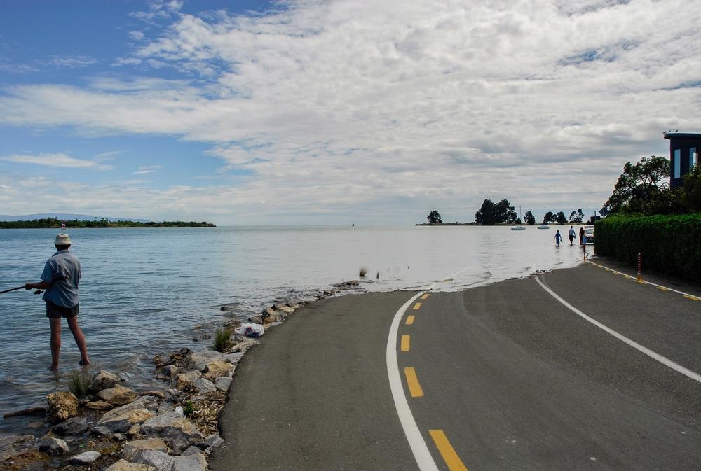
Flooding can be one of the most devastating natural disasters, as it can result in the destruction of buildings, damage to infrastructure and the environment, and mass loss of human life.

Image Credit: MainlanderNZ/Shutterstock.com
Two of the most effective techniques in the battle against flooding are flood mapping and monitoring. These techniques have become more sophisticated in recent years thanks to advancements and sensor technology and geographic information systems. For example, sophisticated digital modeling has allowed for the creation of accurate and valuable flood modeling. However, the latest digital models are only as effective as the data on which they are based.
Although it is most common in subtropical and tropical regions, flooding is a common natural disaster in many parts of the world. Flooding can affect urban or rural areas. It can devastate countries regardless of wealth, but underdeveloped countries with poor early warning systems and coping mechanisms are most vulnerable. Climate change and rampant urbanization have only exacerbated the threat of flooding.
Radar Systems for Flood Hazard Monitoring
Visual and radar systems provide good information for flood mapping and monitoring, as well as useful data for digital models. However, these systems can be quite limited. For example, a system based on visual images captured from a plane or satellite is ineffective when an optical camera is blocked by vegetation or cloud cover.
Radar is one technology that can address the limitations of a visual system, as radar can pass through clouds and vegetation. However, particularly thick vegetation can affect a radar signal. Radar systems are expensive and can produce a lot of signal noise.
Light detection and ranging technology (LIDAR) is superior to both radar and visual systems. LIDAR can provide accurate, detailed data on elevation for the creation of sophisticated flood models and maps. A LIDAR system involves the use of aircraft-mounted lasers that send pulses down to the Earth's surface. The reflected light signals can be interpreted into topography data that is much more precise than data provided by other systems. For instance, satellite imagery of flood hazard areas has a resolution of about 30 meters. By comparison, LIDAR imaging offers a one-meter resolution.
LIDAR systems can provide accurate, high-density data for digital modeling. The technology has been compared to photogrammetry in terms of precision, but it is superior in the sense that it can penetrate through dense vegetation. LIDAR data can also be collected and analyzed quickly compared to manual surveying via photogrammetry.
When it comes to collecting data for digital elevation models, LIDAR is superior to many other collection methods. Data collected by an airborne system can be used to model flood plains and riverbanks in detail, supporting precise flood modeling. Research has shown that LIDAR can collect valuable topographic data to create floodplain maps.
Researchers have also used LIDAR data to create digital hydraulic models that can be used for two-dimensional hydrodynamic modeling. LIDAR technology can also provide granular surface roughness data that is essential for flood modeling. It can also provide precise topographic data for urban landscapes.
LIDAR systems can also be automated, which translates to greater efficiency and lower costs compared to other methods.
Case Study: Assessing Flood Risk from Quebec Rivers
In 2017 and 2019, a series of floods devastated the Canadian province of Quebec, and these floods pushed the Canadian government to update its flood maps for 50 critical watersheds.
Researchers working to update these flood maps developed a new methodology using LIDAR data. The study team used LIDAR to gather detailed information on the rivers in these watersheds.
LIDAR cannot penetrate below the surface of water, but it can provide accurate data on water surfaces. In the new study, researchers combined water surface information with data on the discharge volume of selected rivers. This information was used to calculate the depth of each riverbed, an exercise known as a bathymetric survey. This approach was far more efficient than the conventional approach, which would involve sending surveyors out to 25,000 km of rivers.
The comprehensive bathymetric analysis performed by the researchers provides public safety officials with significant data related to flood risks. Officials now have a sense of flood risks posed by Quebec rivers large and small based on various conditions. The study data is also a significant improvement on previous flood modeling performed at the watershed scale.
References and Further Reading
Guénolé Chon et al. (2021) An assessment of large-scale flood modelling based on LiDAR data. Hydrological Processes, 35( 8), e14333, https://doi.org/10.1002/hyp.14333
Lejtenyi, P. (2021) Concordia researchers develop a new model to assess for flood hazards. Concordia University. [Online] Available at: https://www.concordia.ca/news/stories/2021/10/14/concordia-researchers-develop-a-new-model-to-assess-for-flood-hazards.html?c=/news/archive
Wedajo, G. (2017) LiDAR DEM Data for Flood Mapping and Assessment; Opportunities and Challenges: A Review. Journal of Remote Sensing and GPS. [Online] Available at: https://www.longdom.org/open-access/lidar-dem-data-for-flood-mapping-and-assessment-opportunities-andchallenges-a-review-2469-4134-1000211.pdf
Jones, J. Mapping a Flood...Before It Happens. US Geological Survey. [Online] Available at: https://pubs.usgs.gov/fs/2004/3060/
Disclaimer: The views expressed here are those of the author expressed in their private capacity and do not necessarily represent the views of AZoM.com Limited T/A AZoNetwork the owner and operator of this website. This disclaimer forms part of the Terms and conditions of use of this website.